| Temperature | Wind | Humidity/Barometer | Rain | Almanac |
| Current: 12 F Feels Like: 13 F |
0.0 mph S | Humidity: 81 % | Rain Today: 0.00 in | Sunrise: 7:12 am |
| 24 Hour Difference +6.8 F | Gust: 0.0 mph | Dew Point: 8.0 F | Rain Rate (/hr):0.00 in | Sunset: 4:59 pm |
| High Today:17 F 2:19 PM Yesterday:14.5 F 3:06 PM |
Today: 8.2 mph 10:13 AM | Barometer: 29.85 inches | Rain Yesterday: 0.00 in | Moon Rise; 3:39 pm |
| Low Today:2 F 3:42 AM Yesterday:-5.4 F 7:24 AM |
This Month: 1.42 in | Moon Set: 6:40 am |
| NWS Weather Forecast | ||
TONIGHT Tonight Mostly cloudy. a slight chance of light snow in the evening, then a chance of flurries after midnight. nearly steady temperature around 11. northwest wind 10 to 15 mph. chance ofsnow 20 percent. |
SATURDAY Saturday Partly cloudy in the morning then clearing. highs in the lower 20s. north wind 5 to 10 mph. |
SATURDAY NIGHT Saturday night Mostly clear. lows around 5 above zero. light and variable wind becoming southwest around 5 mph after midnight. |
Active Alerts |
Surface Map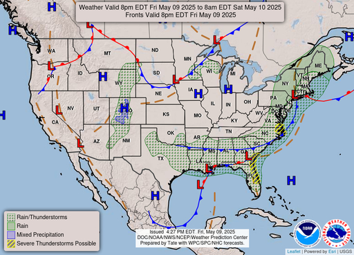 |
Clouds |
Radar |
Weather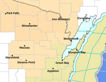 |
NWS Green Bay |